
Find Your Way to the Peaks’ Silent Sentinels
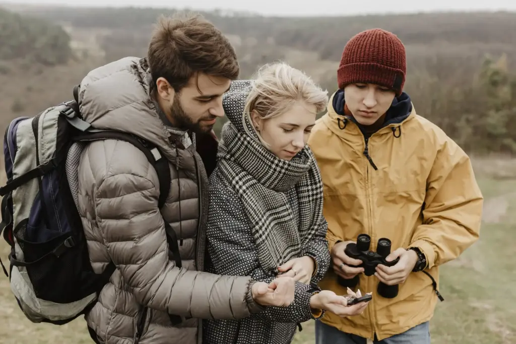
Today we focus on map and compass skills for reaching Peak District trigs, blending practical techniques with friendly stories from windswept ridges. You will learn to read OS maps, take clean bearings, pace with confidence, and plan safe legs, so concrete pillars become welcoming milestones rather than distant mysteries.
Reading the Landscape with OS Maps
Every trig pillar sits within a web of grid lines, contour shapes, rights of way, and quiet land features that together sketch a story. Mastering OS Explorer and Landranger conventions turns ink into terrain, letting you picture ridges, saddles, and re-entrants before boots touch peat, reducing surprises and building calm confidence.
Practice four-, six-, and eight-figure grid references until your finger lands exactly where the concrete rises. Combine the right-then-up mantra with features nearby, like walls or streams, so relocating stays simple even if cloud arrives and your path meanders under curious grouse.
Let close-packed contours warn of steep ground and crumbly edges, while gentle spacing hints at kind, grassy shelves. Trace spurs and hollows with a pencil, then match them to skyline silhouettes, teaching your eyes to translate brown lines into three-dimensional form before mist steals contrast.
Map-to-Ground Bearings without Second-Guessing
Set the edge on your start and target, twist the housing to grid north, then add or subtract variation as appropriate. Sight a distinctive tussock or rock, walk to it, repeat. This leapfrogging rhythm removes drift, nerves, and accidental arcs introduced by uneven footing.
Crossing Featureless Moorland while Holding a Line
When peat pans and heather erase obvious cues, bring out a distant partner or trekking pole to create intermediate markers. Check the needle often, correct small deviations early, and keep cadence smooth. Over hundreds of meters, tiny corrections save minutes and keep confidence topped up.
Resection and Back Bearings when the World Turns Misty
From two or three identifiable features, swing back bearings, pencil lines on the map, and watch them converge near your true position. Even in murk, summits, cliffs, or mast lights help. Practice at dusk, so stress drops when real weather finally tests your process.
Pacing, Timing, and Efficient Legs Between Checkpoints
Speed varies with mood, gradient, and wind, so give yourself dependable numbers. Measure double-steps per hundred meters on path, peat, and rubble. Pair that with a simple watch and Naismith’s allowances, and you will predict arrivals, plan rests, and keep group energy sweetly balanced.
Smart Attack Points Close Enough to Succeed, Far Enough to See
Aim first for something unmistakable within easy striking distance: a wall junction, a footbridge, a stile beside a lone tree. From there, take a crisp bearing into open ground. This two-step approach removes doubt and protects morale when drizzle blurs distant cues.
Catching Features that Save the Day When Fog Eats Distance
Decide in advance what will stop you if you go too far: a steepening slope, a river bend, a fence, or a path. Expect success yet plan for overshoot. When your stop-line appears, relocate calmly, adjust, and try again without drama or blame.
Using Mountain Forecasts and On-the-Ground Clues
Cross-check Met Office, MWIS, and synoptic charts, then keep observing cloud speed, temperature, and underfoot grip. If reality disagrees with prediction, trust reality. Adjust legs shorter, slow the pace, and communicate openly. Returning late and tired teaches less than returning warm, reflective, and ready to try again.
Emergency Navigation when Batteries Die and Light Fades
Carry a paper map, compass, whistle, and spare light as promises to your future self. If electronics fail, shrink ambitions, pick strong handrails, and tick off features deliberately. Small, accurate steps rebuild calm. Once safe, share lessons, so our community grows steadier together.
Turnaround Times, Escape Routes, and Group Roles
Agree in advance who tracks time, who checks bearings, and who monitors warmth and smiles. Build bail routes to valleys, roads, or sturdy shelters. Turning back becomes evidence of leadership, not defeat, and invites stories others can learn from over maps and mugs.
Routes to Iconic Pillars across the Peak
From family-friendly ridges to wild plateaus, the area offers satisfying journeys to classic concrete crowns. These examples blend bearings, pacing, and terrain association, showing how preparation flowers into joy. Add your variations, send questions, and share photos so future explorers benefit from your growing wisdom.
Kinder Low: Navigating the Plateau without Losing Nerve
Start from Kinder Downfall, follow the edge to a chosen attack point, then strike a bearing across the plateau’s soft curves. Expect peat groughs and wind confusion. Hold line, pace carefully, and the pillar emerges with dramatic views, rewarding composure more than brute speed.
Bleaklow Head: Through Groughs to a Lonely Concrete Crown
From the Snake Pass, plan legs along sturdy handrails, then thread peat channels with deliberate micro-nav. Visibility often changes sharply here. Watch for aircraft wreckage landmarks, treat them respectfully, and let back bearings confirm progress. The final approach feels remote, yet unmistakable with practiced skills.
All Rights Reserved.